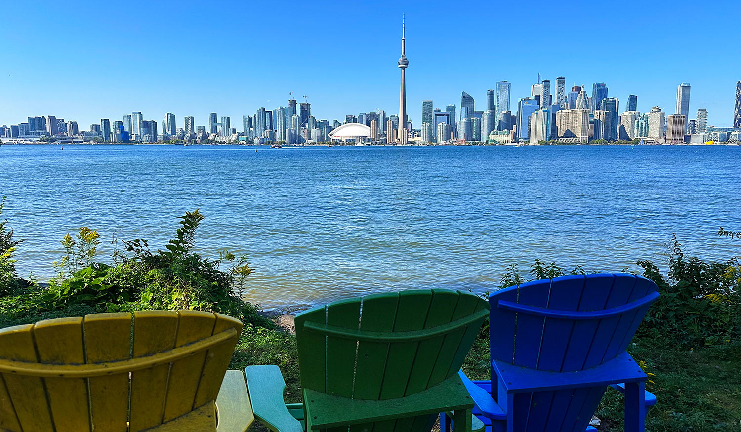
Friday was a perfect weather day here in Toronto, so my boss gave me the afternoon off. I took a ferry to the Toronto Islands, a chain of 15 small islands on Lake Ontario just offshore from mainland Toronto—with amazing views of the Toronto skyline.
Even though the Toronto Islands are less than five miles from my apartment, getting anywhere in a big city like this takes a bit of time. After taking a bus, subway train, and streetcar, I made it to the Jack Layton Ferry Terminal on Queens Quay.
It’s a quick 10-minute ferry ride across the Toronto Harbour to the islands. The Billy Bishop Toronto City Airport, Canada’s sixth-largest airport, is located on the Toronto Islands, so it was fun to see low-flying airplanes on the ferry ride and throughout the afternoon.
Here’s a map of the Toronto Islands. The islands are approximately 5 KM long from Ward’s Island to Hanlan’s Point. In addition to the airport, the islands are home to the Toronto Island Park, an amusement park, four private yacht clubs, a year-round residential neighborhood, and many public beaches—and it’s all walkable!
Toronto Islands Fun Facts:
- Babe Ruth hit his first professional home run in 1914 at Maple Leaf Park at Hanlan’s Point.
- The Toronto Islands are the largest urban car-free community in North America. Only service vehicles are permitted.
- It wasn’t always an island. Originally a peninsula extending from the mainland, two storms in the 1850s flooded the peninsula’s sand pits, creating the islands.
More words won’t do my exploration of the Toronto Islands justice, so I’ve created a photo gallery of favorites from my visit. Enjoy!
